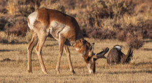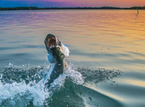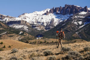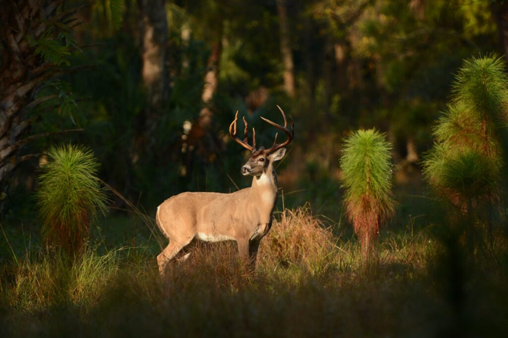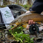
Hunting & Fishing Access
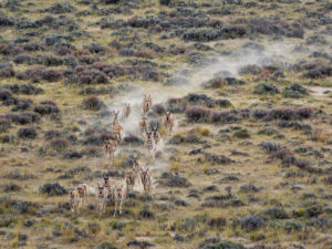
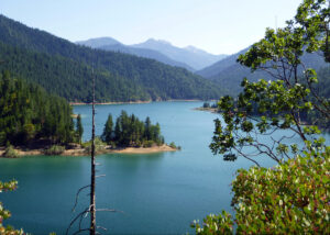
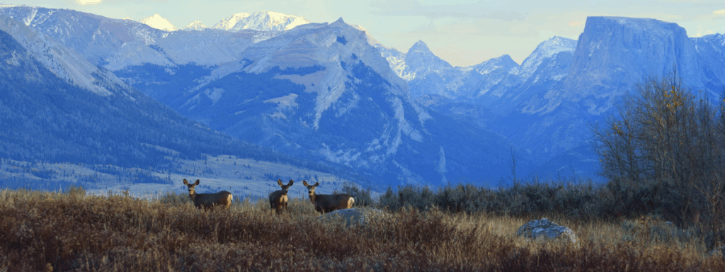
America’s 640 million acres of national public lands provide irreplaceable hunting and fishing opportunities to millions of Americans.
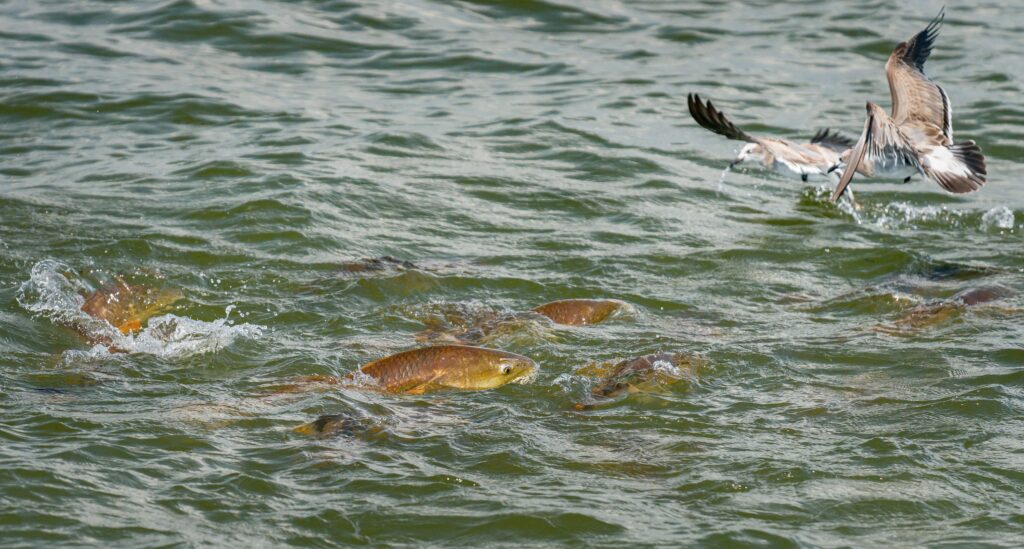
Learn More About AccessWe’re working to safeguard America’s public lands so hunters and anglers always have quality places to pursue their passions.

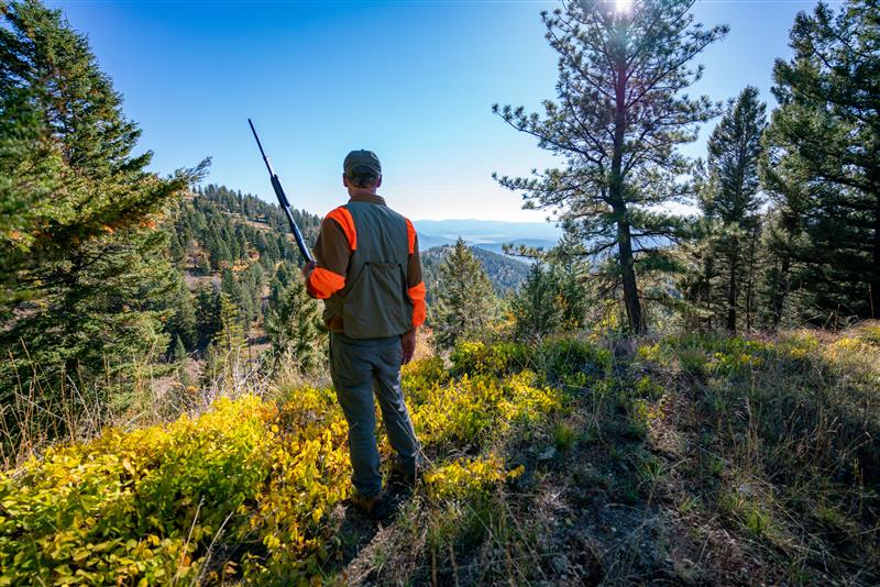
MAPping Public Access
Enhancing access to your public lands and waters by digitizing public access records and paper maps.
Learn More
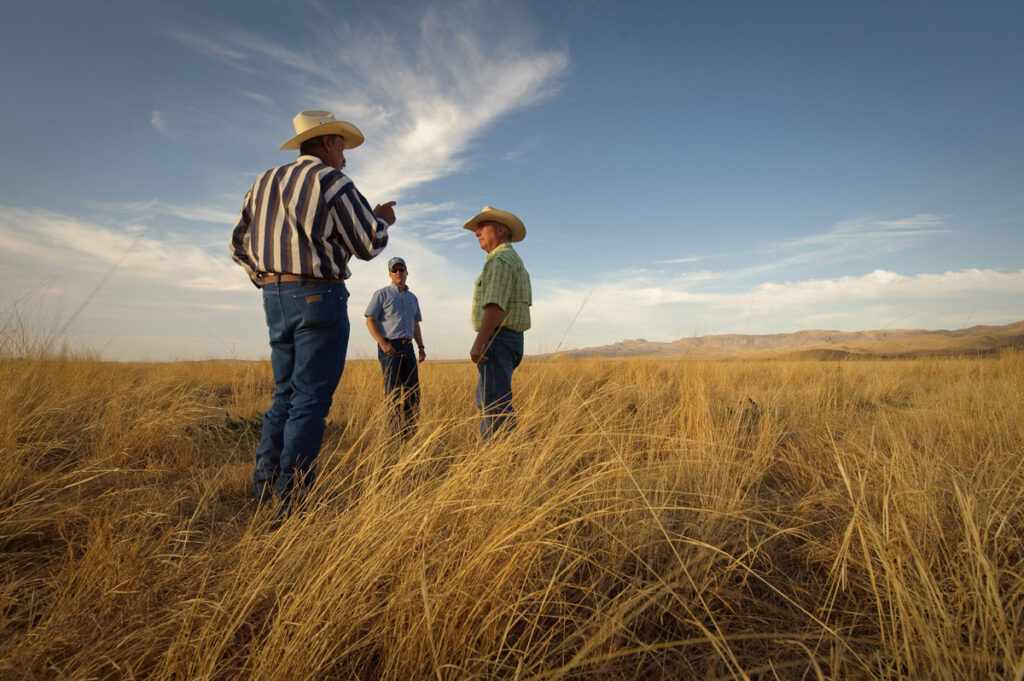
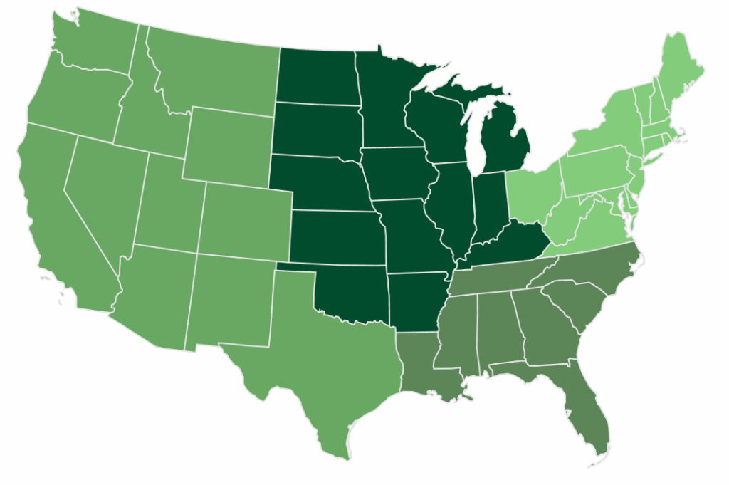
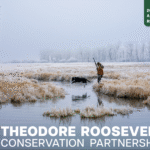
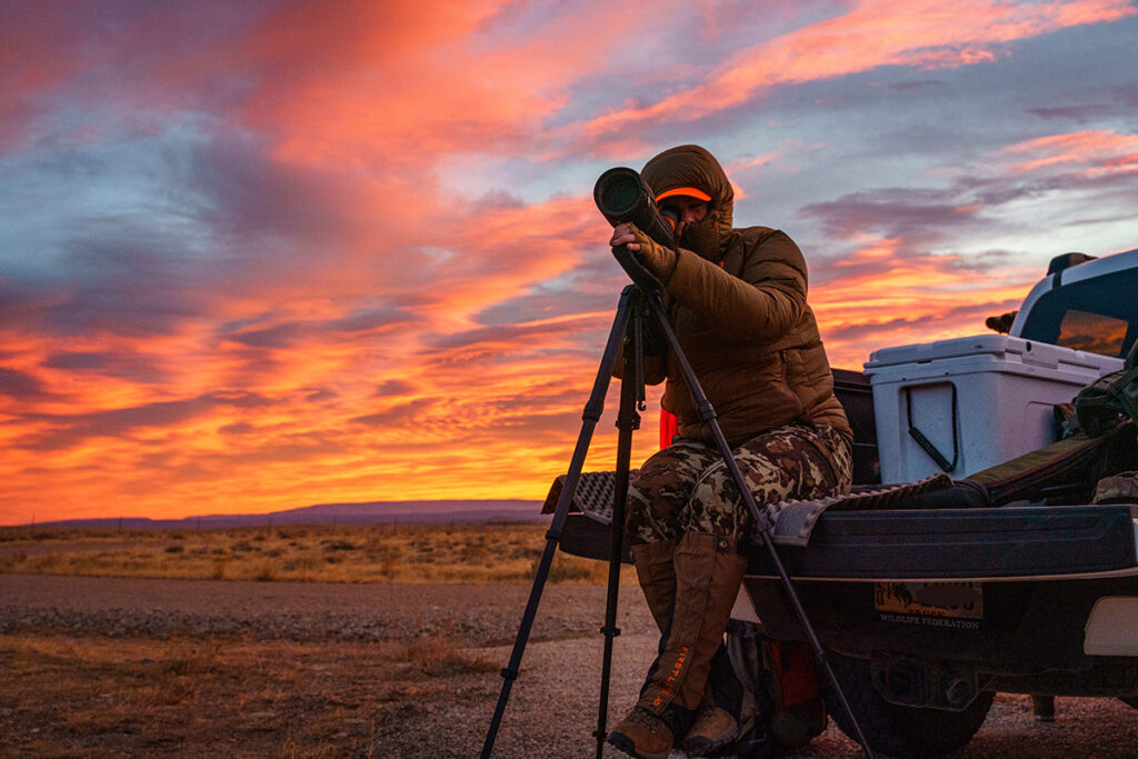
Unlocking Public Lands
The Theodore Roosevelt Conservation Partnership teamed up with onX to determine the scope of the landlocked problem and propose solutions for unlocking public lands.
Learn More
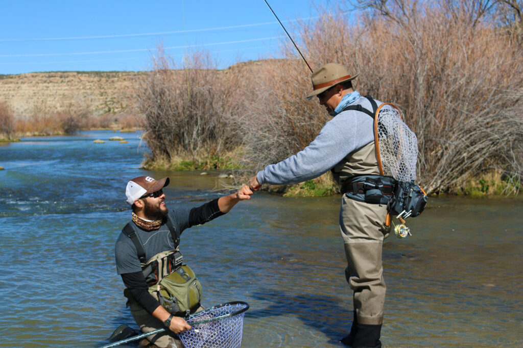
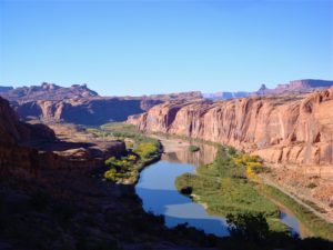
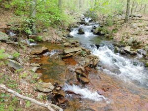
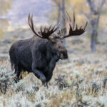
Public Land Access
America’s 640 million acres of national public lands – including our National Forests and Bureau of Land Management lands – provide irreplaceable hunting and fishing opportunities to millions of Americans.
Learn More
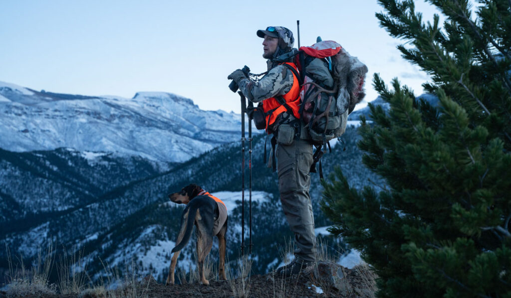
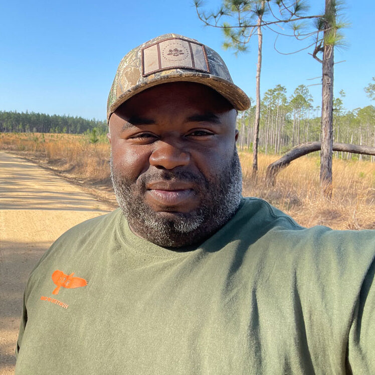
Brian Flynn, Two Wolf Foundation's Story
Following a distinguished career in the U.S. Army, lifelong outdoorsman Brian Flynn returned home from a deployment in Afghanistan and…