The public process for vetting these important projects will affect conservation, hurricane protection, and land loss over the next five years
Louisiana’s coast is a dynamic landscape of swamps, marsh lands, barrier islands, bayous, rivers, lakes and bays surrounding coastal towns and cities—and all of this is linked by a unique culture of food, music, fishing, hunting, and other outdoor activities that rely on our abundant natural resources.
Unfortunately, for the last 80 years, this ever-changing system has been shrinking faster than any other landscape on earth, threatening world-class fishing and hunting opportunities, domestic energy development, commercial seafood harvest, the country’s largest port system, and the homes of hundreds of thousands of residents.
The impacts to the nearly 2 million people living south of Interstate 10 (and arguably the entire state and nation) can be devastating, but there are solutions in the works and a public process for Louisianans to be heard. This week and last, concerned sportsmen and women had the chance to ask questions and challenge the folks in charge of planning for the next five years of coastal protection and restoration projects designed to reverse devastating land loss, while boosting fish and wildlife habitat.
Here’s what they learned.
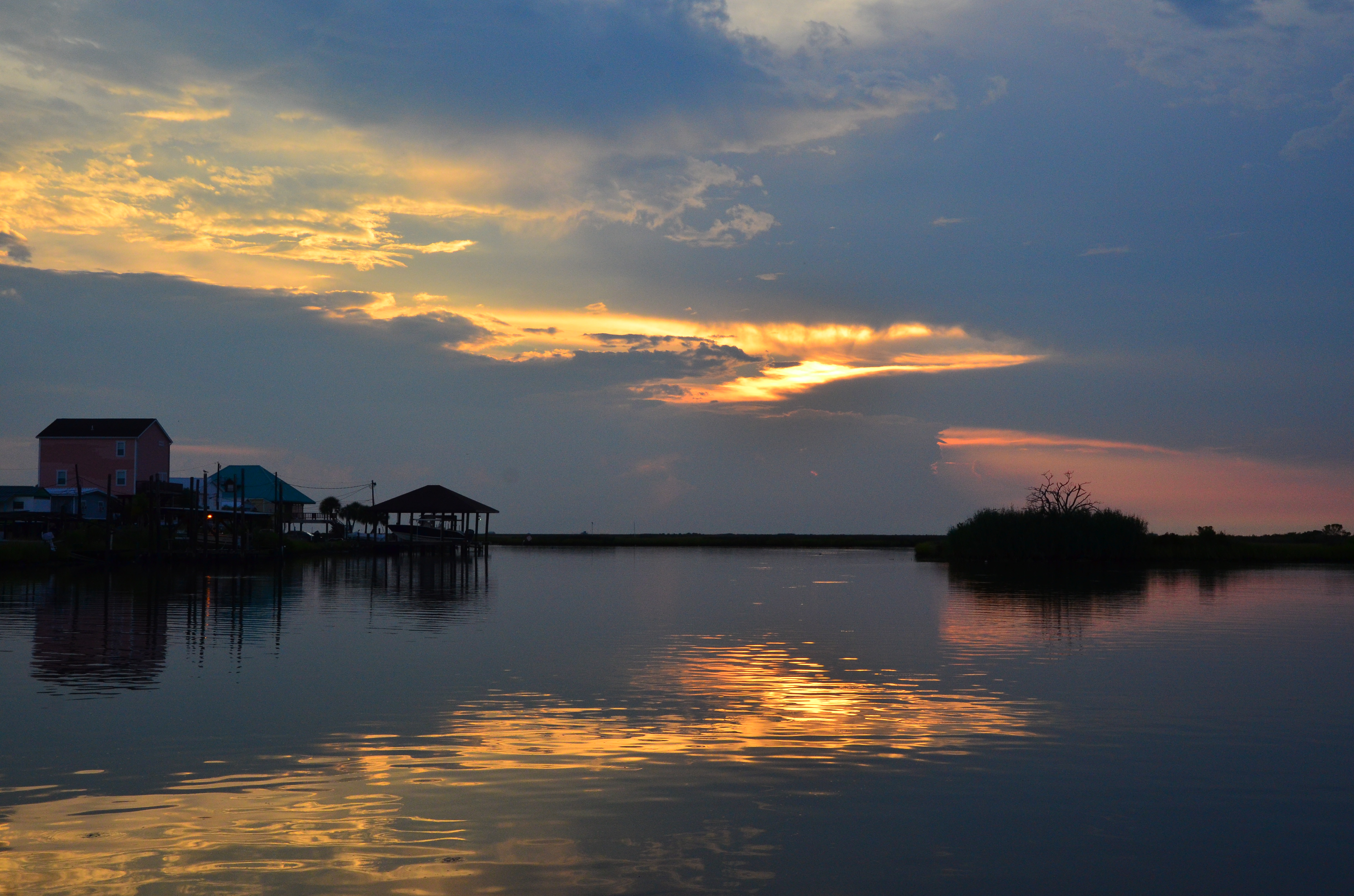
A Plan for Louisiana’s Future
For the last decade, the Louisiana Coastal Protection and Restoration Authority has been tasked with trying to slow coastal land loss, protect coastal communities, and safeguard our infrastructure, including the kind that supports fisheries and wildlife. The blueprint for this effort has been a detailed list of projects and initiatives aimed at ensuring Louisianans don’t face the catastrophic losses we experienced during Hurricanes Katrina and Rita in 2005.
The Coastal Master Plan, by law, must be reviewed by the public every five years and then approved by the state’s legislature. As wonky as it sounds, this is a critical opportunity for everyday sportsmen and women to get involved with shaping the future of conservation in our state.
Where Funding Will Flow
The 2017 plan, like the 2012 plan before it, calls for funding to be split roughly in half between building community resiliency—using levees and floodwalls and elevating homes and businesses—and habitat restoration—through marsh and barrier island creation, diversions, and limiting saltwater intrusion.
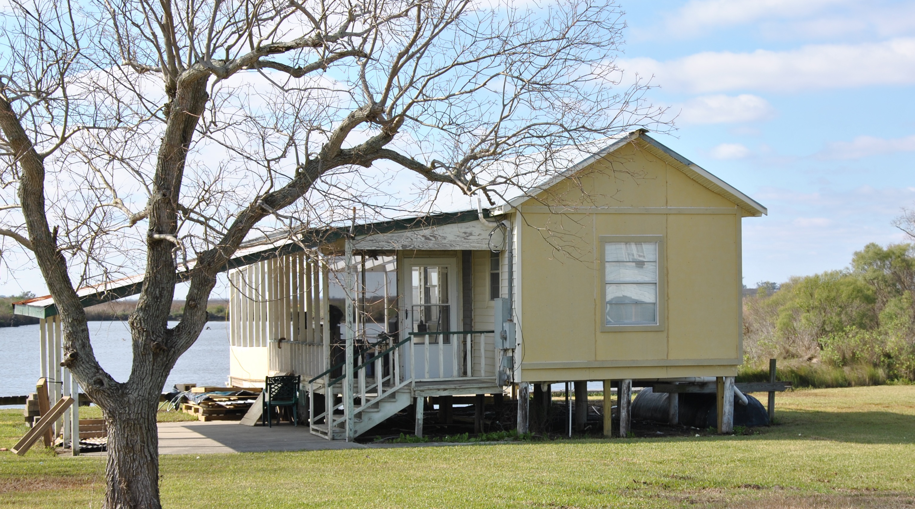
Thanks mostly to the nearly $8 billion the state has received, or will receive, in fines from BP and others responsible for the 2010 Deepwater Horizon oil disaster, some coastal wetlands, barrier islands and vital ridges and other geographic features can be created, restored, and protected in the long term. The agency proposes to accomplish this by diverting sediment from the Mississippi River below New Orleans, diverting freshwater from the Mississippi and Atchafalaya Rivers to wetlands threatened by saltwater intrusion, and various dredging projects.
Diversions are the cornerstone of efforts to restore and sustain the marshes adjacent to the Mississippi River. A single diversion on the west side of the river south of New Orleans called the Mid-Barataria Diversion, will move as much as 75,000 cubic feet per second of sediment-laden river water into shallow bays and lakes to help re-establish marshes that have been lost over the last century to erosion and subsidence. East of the river, the Mid-Breton Diversion will move water at about 35,000 cubic feet per second.
Impact to Fish and Wildlife
The 2017 plan is the first Master Plan for our area with detailed models that predict the future of coastal habitat for species like speckled trout, brown and white shrimp, largemouth bass, and crawfish—fisheries that are vital to commercial and recreational fishermen. It also projects what changes we can expect for habitat important to gadwall and teal, the ducks most targeted by coastal waterfowl hunters.
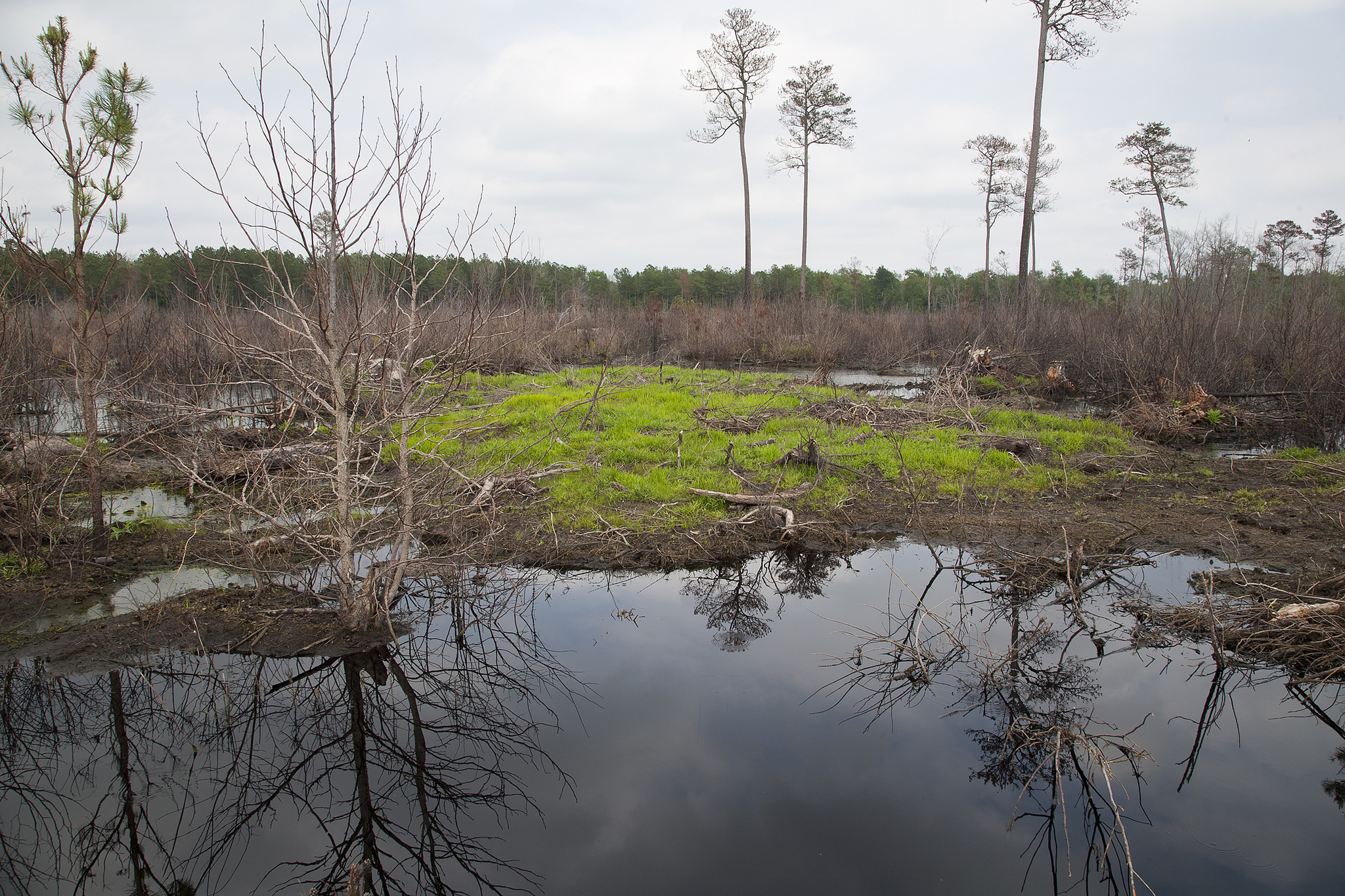
And If We Do Nothing?
Unfortunately, the latest models also paint a grimmer picture of what can realistically be saved and protected and what will, ultimately, be claimed by the Gulf of Mexico. The worst-case scenario from 2012 was a one- to two-foot rise in sea level—these are now the best-case scenarios in the 2017 plan.
If we do nothing, projections show that as much as 4,000 square miles of land will sink or be inundated by rising seas (yes, both of these things are happening at once) over the coming century—that’s more than twice the land loss predicted in 2012.
More than 25,000 homes and businesses across Louisiana’s coast will have to be elevated and made more storm-resilient over the next half century so as not to succumb to coastal flooding from tropical storms, hurricanes, and other extreme weather events. Some communities may have to be relocated altogether. Presenting this worst-case scenario isn’t the easiest task for state coastal planners, but it’s absolutely essential that coastal residents understand the difficult future that lies ahead in an ever-changing landscape.
How You Can Help
We’ve outlined the basics here, but if you want to learn more, read the full draft plan at the Louisiana CPRA website. Public comments are still being accepted through March 26—it is your civic right and, ultimately, your duty as a sportsman to weigh in. Email masterplan@la.gov to make your voice heard!




I concur entirely with the plan developed to protect the wetlands of S. Louisiana and the subsequent eventual halt of seawater envelopment. Please regard the Mid-Barataria diversion as all important for future development.
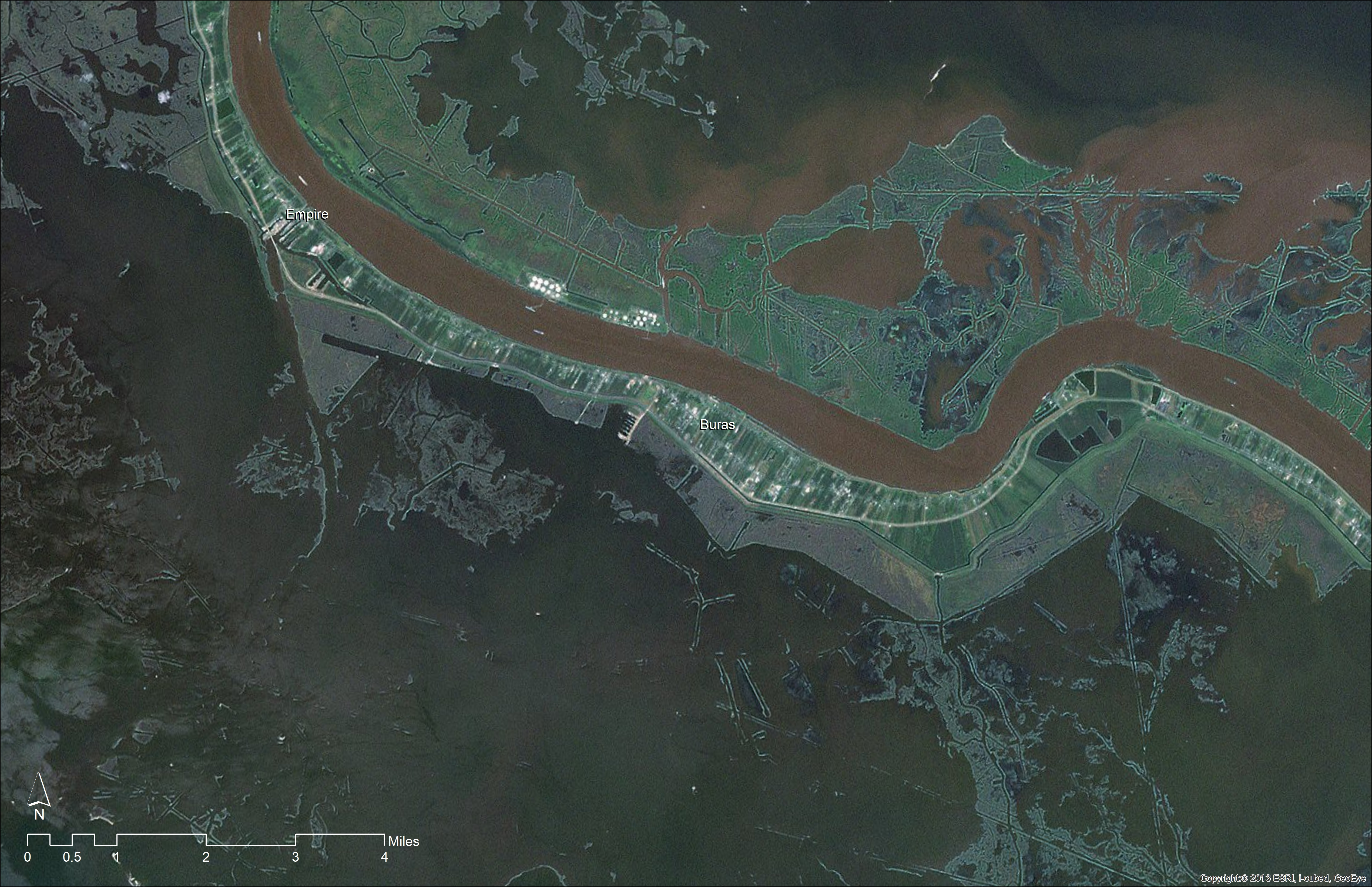
take a look at that picture of Buras, you see the coast line where it was, now take a closer look at the Mississippi River, it is brown like that because of silt. that is what built up this coast line. let that sink in for a minute. I remember when I started working back in 1977, watching these oil companies dig canals to the oil leases. Key word there, (lease, not own) I asked the foreman what will happen to the marsh and erosion after they gone, His answer was Tough Shit. not their problem.
instead of sand levees like they build off of Grande Isle, why not build oyster reefs? they build and keep themselves up, what kind of grass and vegetation can be planted that is resistant to salt water and survives in brackish water?