fbpx

by:

posted in: Highlights

December 21, 2023

Our Top Conservation Wins of 2023

Your support helped make these conservation successes possible

As the year draws to a close, we’re pleased to highlight some of our top conservation wins of 2023.  We’re proud to say that hunters and anglers continue to speak out meaningfully on the issues that matter most to them. Thanks to you, and the actions of our 63 partners and 29 corporate partners, TRCP secured key victories for conservation funding, fish and wildlife habitat, and sporting access.  Here are our top achievements to date in 2023.

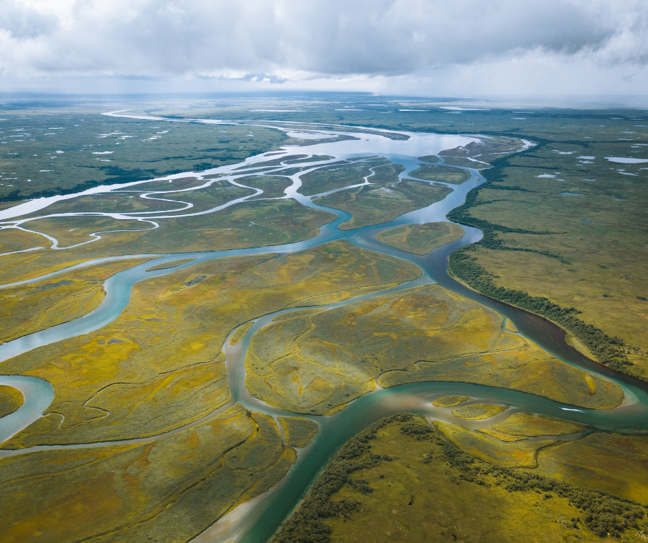
Momentous Clean Water Safeguard Secured for Bristol Bay, Alaska

This monumental win saw momentous safeguards issued for Bristol Bay, Alaska – home of the largest sockeye salmon run on the planet – that effectively said NO to the proposed Pebble Mine. Click here to read more.

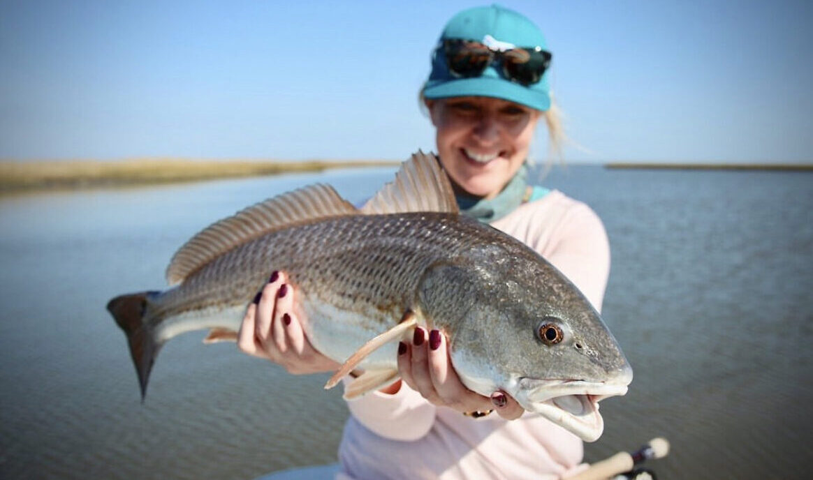
Protecting Redfish and Conserving Habitat from the Industrial Menhaden Fishery

The Louisiana Wildlife and Fisheries Commission proposed that the state require a minimum 1-mile coastwide buffer restriction on industrial netting of Gulf menhaden to protect redfish and Gulf Coast habitat, plus more stringent penalties for net spills. Click here to read more.
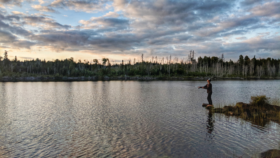
Historic Protections for the Boundary Waters Canoe Wilderness Area

The Department of the Interior and Agriculture cemented historic protections for the Boundary Waters Canoe Wilderness Area by banning federal hard rock mineral leasing for the next 20 years. Click here to read more.

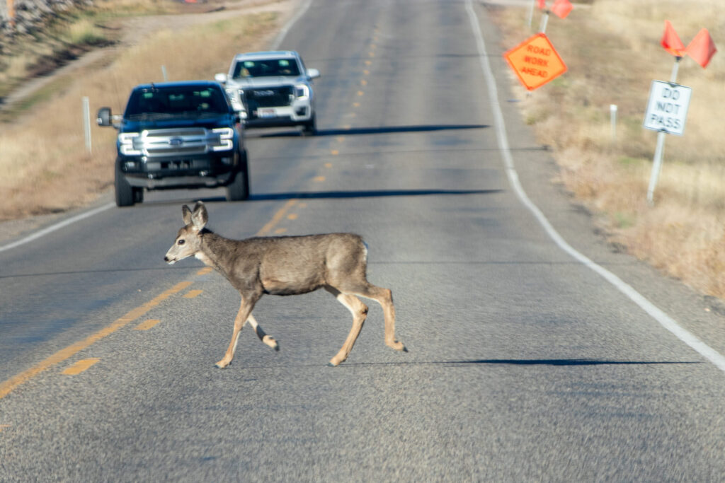
New Federal Funding to Support Design and Construction of Wildlife Crossings

New federal funding was made available to support the design and construction of wildlife crossings through the five-year, $350 million Wildlife Crossings Pilot Program. Click here to read more.

Once-In-A-Generation BLM Investment Sets the Stage for Habitat Improvements Across the West

A $161 million investment to restore landscapes across the West was made by the Bureau of Land Management, allocating funds to 21 projects in 11 states. Click here to read more.

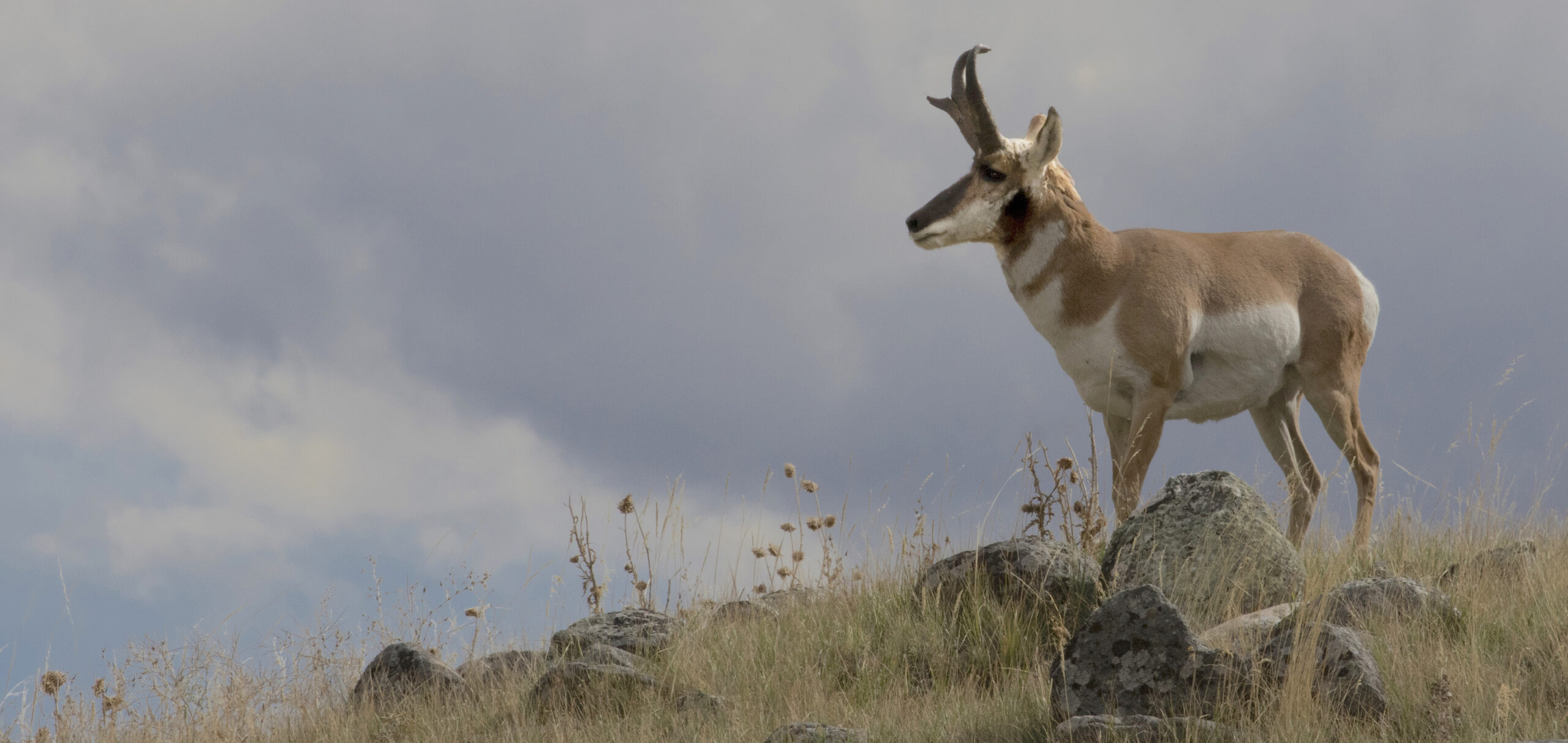
BLM Decision to Conserve Bennett Hills

Six distinct elk, mule deer, and pronghorn migration corridors and winter ranges were conserved in south central Idaho when the Idaho BLM adopted the Bennett Hills Backcountry Conservation Area.  Click here to read more.

Louisiana Commences Unprecedented Coastal Habitat Restoration Project

Louisiana broke ground on the Mid-Barataria Sediment Diversion – America’s largest habitat restoration project to date – to promote long-term fishery health of the Gulf Shore basin. Click here to read more.
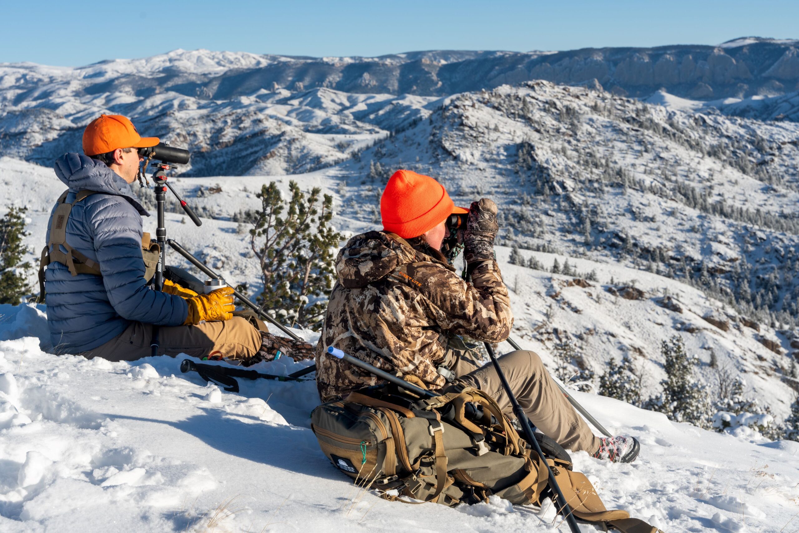
On The Horizon

As we look ahead, we know we are only getting started.  In the coming year, we remain committed to our staff and partners who work every day to create common-sense, lasting solutions — like protecting Alaska’s Brooks Range from a major industrial access corridor; directing federal agencies to digitize water and fishing access through the recently introduced MAPWaters Act; and, ensuring that the crucial Farm Bill conservation programs enjoyed by hunters and anglers are protected and adequately funded.

Commitment to Transparency

In 2023, TRCP once again received top ratings by charity watchdog groups Charity Navigator, GuideStar, and the Better Business Bureau. We work hard to ensure that every dollar you give goes as far as possible for conservation, and this recognition of where we stack up against other charities is very important to us.

Given all that we’ve accomplished this year to guarantee Americans quality places to hunt and fish, we hope you’ll consider supporting TRCP during this season of giving. SITKA Gear will match every dollar you give, doubling your impact towards conservation.  There’s no better time to get involved in conservation and make twice the impact.

Stay in touch!  Are you interested in receiving our weekly Roosevelt Report in 2024? Subscribe here.

Do you have any thoughts on this post?

XHTML: You can use these tags: <a href="" title=""> <abbr title=""> <acronym title=""> <b> <blockquote cite=""> <cite> <code> <del datetime=""> <em> <i> <q cite=""> <s> <strike> <strong>

Comments must be under 1000 characters.

by:

posted in: Highlights

December 11, 2023

Proposed Public Auction of Wyoming’s Kelly Parcel Tabled

2024 legislative session could be an opportunity to permanently conserve the parcel via conveyance to Grand Teton National Park

Today, the Wyoming State Loans and Investments Board voted unanimously to table the proposed public auction of the Kelly Parcel until fall of 2024.

“The Wyoming people have spoken clearly at multiple meetings across the state—the Kelly Parcel should never be developed,” said Josh Metten, Wyoming field representative for the Theodore Roosevelt Conservation Partnership.

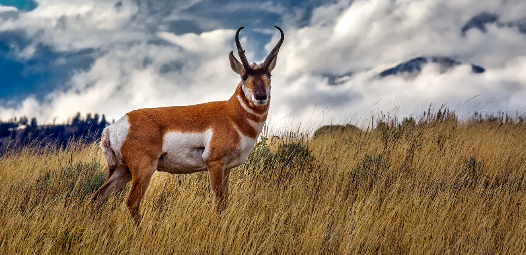
Surrounded on three sides by Grand Teton National Park, the Kelly Parcel (T43N R115W Sec. 36) sits on crucial elk winter range and is centrally located in the northern portion of the “Path of the Pronghorn.” The property is also located in a Wild and Scenic designated portion of the Gros Ventre watershed which is home to native Snake River cutthroat trout.

This iconic parcel is a gateway to the National Park and the Bridger Teton National Forest, an area loved by Wyomingites and visitors alike.

State lands are managed in Wyoming to optimize revenue for public education, and this fall, Wyoming OSLI proposed to dispose of the Kelly Parcel via public auction. Privatization of the parcel could have led to development and permanent loss of invaluable habitat.

The TRCP was joined by a coalition of seven other Wyoming hunting and angling groups that sent the SLIB board a comment letter in support of conserving the parcel by conveying the acres to Grand Teton National Park.

“Today’s decision opens up an opportunity for a legislative solution,” said Metten. “We look forward to working with the Wyoming legislature to ensure an outcome that will be a windfall for public education while conserving the migration corridors, critical winter range, and scenic vistas that make this parcel so special.”

Learn more about Wyoming migration work here.

Photo Credit: Josh Metten

by:

posted in: Highlights

The Hart-Sheldon Refuge Complex: Where We’ve Been, Where We’re Going

One of the country’s longest pronghorn migrations has a long road ahead

Archeologists recently uncovered what might be the oldest evidence of humans in North America near Oregon’s Hart Mountain. The artifacts, dating back to 14,000 B.C., help position the thousands of petroglyphs carved into the black basalt and rim-rock country from 6,500 years ago. These petroglyphs show how the Northern Paiute fished, hunted, and lived along the shore of Warner Lakes, at the base of Hart Mountain, and moved higher to hunt pronghorn and other big game during the summer.

Before European settlement, pronghorn roamed across western North America in the tens of millions, including on the high plains of what is now Nevada and Oregon. Unfortunately, unregulated hunting, disease, and habitat loss brought on by settlers caused a near collapse of the population. The area around Hart Mountain was one of the final strongholds for this unique species.

Determined to save the antelope, conservationists worked with President Franklin D. Roosevelt, who in 1936, signed an executive order to establish two refuges (Hart Mountain National Antelope Refuge and the Sheldon National Wildlife Refuge) for the purpose of conserving pronghorn and other wildlife. Today, more than 800,000 acres on the Hart-Sheldon Refuge Complex are uniquely managed for wildlife conservation, providing essential habitat for bighorn sheep, pronghorn, mule deer, and others. The refuges have also provided high-quality, big-game hunting opportunities for decades.

Since both refuges were established, researchers have learned a great deal about the wildlife and surrounding sagebrush steppe. Results from recent migration research have reinforced the importance of these two refuges as well as the adjoining 20 miles of BLM lands that separate them. From 2011-2013, biologists with the U.S. Fish and Wildlife Service followed 32 female pronghorn in the Greater Hart-Sheldon. What they found was one of the longest pronghorn migrations in the country, spanning more than 100 miles across 3 million acres of public lands.

In general, pronghorn spend summers in the higher elevations at Hart Mountain, then move to lower-elevation winter range on the Sheldon. But the pronghorn herds also utilized the adjacent Bureau of Land Management lands as much or more than the U.S. Fish and Wildlife Service refuge lands throughout the year. Wildlife don’t recognize land ownership boundaries, and it’s critical that the habitat in this corridor remains unfragmented and ecologically intact for the long haul.

Unfortunately, over the past two decades, populations of mule deer, bighorn sheep, and sage grouse have declined, both on the refuges, and across the region. As wildlife biologists work to identify the cause of these concerning counts in hopes of reversing the trend, it’s clear that more financial resources, habitat restoration work, and management strategies are needed, both on BLM and USFWS managed lands.

That’s why the Theodore Roosevelt Conservation Partnership has asked the Department of the Interior to direct the USFWS and the BLM to work together with the local community to identify a cooperative management strategy and update their overarching management plans to best conserve and restore the habitat and big game populations, both on the refuges and the BLM lands between, so pronghorn can move freely across the high-quality habitats to promote healthy populations for future generations of hunters to enjoy.

Learn more about TRCP’s work in the Pacific Northwest here.

A version of this blog was originally published by the Bend Bulletin.

Photo credit: Kabsik Park

by:

posted in: Highlights

December 7, 2023

TRCP, the largest coalition of conservation organizations in the country, Announces Leadership Changes

Becky Humphries appointed Interim CEO and Alston Watt elected TRCP Board Chair, as Whit Fosburgh steps down as TRCP President and CEO.

After 13 years of service, Whit Fosburgh has stepped down as president and CEO. We hope you will join us in thanking Whit for his commitment and contributions that have transformed TRCP into the crucial conservation organization that stands today.   

The Board of Directors is pleased to announce the appointment of longtime conservation leader Becky Humphries to serve as interim CEO. Additionally, longtime TRCP Board Member, Alston Watt, has been elected as the new TRCP Board Chair following the tenure of James A. Baker IV. Watt is the Executive Director of the Williams Family Foundation of Georgia and has an extensive background in leadership and international conservation projects.

TRCP continues to rise to the challenge originally set forth by our founder, Jim Range—to unite and amplify our partners’ voices to advance America’s legacy of conservation, habitat, and access. Since our inception only 20 years ago, TRCP has become the largest coalition of conservation organizations in the country, all united around Theodore Roosevelt’s conservation legacy. 

Today, our partnership model is the driving force for conservation in America, representing 63 nonprofit partners and 29 corporate partners. Together, we have advanced momentous safeguards for Alaska’s Bristol Bay; established a $350 million Wildlife Crossing Pilot Program; secured $161 million BLM investment to restore landscapes across the West; and advanced America’s largest habitat restoration investment to date in Louisiana, the Mid-Barataria Sediment Diversion project.   

As we look ahead, we know we are only getting started.  In the coming year, we remain committed to our staff and partners who work every day to create common-sense, lasting solutions — like protecting Alaska’s Brooks Range from a major industrial access corridor; directing federal agencies to digitize water and fishing access through the recently introduced MAPWaters Act; and, ensuring that the crucial Farm Bill conservation programs enjoyed by hunters and anglers are protected and adequately funded. 

Read about Becky Humphries achievements and leadership in the conservation community.

Meet the Team: TRCP Staff and Board Members unite and amplify our partners voices to advance America’s legacy of conservation, habitat, and access.

by:

posted in: Highlights

December 6, 2023

What is the MAPWaters Act?

Here’s what you need to know about the bill that will help you navigate your hunting and fishing waters with confidence

While hunters and anglers are known to enjoy their traditions, 21st century technologies have been widely integrated when it comes to clothing, optics, and ballistics.

Yet there is no technology more revolutionary to the modern hunter and angler than GPS and digital mapping. These tools—often housed in smartphone applications such as onX—have transformed the way hunters and anglers navigate their public lands and waters, but there are still growing pains with this technology as federal documents containing valuable access and regulation information must be made more readily available to the public, specifically in the digital space.

The Next Step in Modern Access

The MAPWaters (Modernizing Access to our Public Waters) Act builds on the momentum of the successful MAPLand (Modernizing Access to our Public Land) Act, which was signed into law in 2022.

Just as the MAPLand Act requires our public land agencies to digitize records of easements or rights-of-way across private lands, making it possible for the public to understand where public access has been formally secured in legal records, the MAPWaters Act will direct federal agencies to digitize water and fishing access and recreational use information on federal waterways and make those resources readily available to the public. 

This one-two legislative punch will expand public access opportunities and reduce conflict between landowners, managing agencies, and recreationists as everyone will have easy access to the facts about rules and regulations.

The federal waterways specified within MAPWaters include any portion of a body of water managed, or partially managed, by the Bureau of Reclamation, the National Park Service, the Bureau of Land Management, the United States Fish and Wildlife Service, and the Forest Service.

This newly digitized public information would include:

  • Status information on which waterways are open or closed to entry or watercraft, including watercraft inspection or decontamination requirements.
  • The areas of waterways with restrictions on motorized propulsion, horsepower, or gasoline fuel.
  • Types of watercraft that are restricted on each area of a waterway, including the permissibility of canoes, rafts, motorboats, airboats, snowmobiles on frozen bodies of water, etc.
  • The location and boundaries of fishing restrictions on recreational and commercial fishing, including full or partial closures, no-take zones, and fishing restrictions within or surrounding marine protected areas.
  • Fishing restrictions concerning equipment or bait, such as restrictions on the use of barbed hooks or live bait and catch and release requirements.

Locations of boat ramps, portages, wake-zones, as well as depth charts and the operating hours of federally managed buildings and services near these waters would also be made available.

Why We Need MAPWaters

Much of this information can be found in agency documents but is difficult for the public to discover and access. For example, in the Code of Federal Regulations, the U.S. Fish and Wildlife Service includes 42 pages worth of National Wildlife Refuge recreation rules, many of which are tied to waterway navigation and fishing.

The environmental and budgetary factors influencing the management of the thousands of miles and acres of federal waters often make it difficult to construct and maintain physical markers and signs to inform water recreationists of regulations and restrictions. Even where signs have been posted, they are often torn down or physically located at a body of water—which requires driving to the lake or river to read them and discover the rules.  

People are busy, and a lack of easily accessible information about recreational access on public water results in days lost enjoying the outdoors. If the danger of breaking fishing regulations because of a lack of available information keeps anglers from fishing certain waters, the American public is being deprived of valuable opportunities to enjoy the outdoors. With the incredible advances in 21st century mapping technology, hunters and anglers should have the ability to reference their handheld GPS or digital mapping apps to instantly know the rules for recreation and where the boundaries of restricted areas are located.

The MAPWaters Act is designed to address these gaps in information by providing funding and guidance to our water management agencies to digitize mapping information about outdoor recreation so you can fish, boat, float, and relax on your public waters safely and legally with confidence.

It should be noted that the MAPWaters Act would not require the digitization or mapping of state or Tribal rules about navigation or fishing. Further, the legislation would not change the definition of navigable waters, affect the jurisdiction or authority of states or federal agencies to regulate navigable waters, or modify the authority or jurisdiction of federal or state agencies to manage fisheries.    

Learn more about the status of the MAPWaters Act here, and learn more about TRCP’s work to enhance public hunting and fishing access here.

HOW YOU CAN HELP

CHEERS TO CONSERVATION

Theodore Roosevelt’s experiences hunting and fishing certainly fueled his passion for conservation, but it seems that a passion for coffee may have powered his mornings. In fact, Roosevelt’s son once said that his father’s coffee cup was “more in the nature of a bathtub.” TRCP has partnered with Afuera Coffee Co. to bring together his two loves: a strong morning brew and a dedication to conservation. With your purchase, you’ll not only enjoy waking up to the rich aroma of this bolder roast—you’ll be supporting the important work of preserving hunting and fishing opportunities for all.

Learn More
Subscribe

You have Successfully Subscribed!

You have Successfully Subscribed!

You have Successfully Subscribed!

You have Successfully Subscribed!

You have Successfully Subscribed!