Legislation invests in digitized, integrated mapping resources for outdoor recreation
The Theodore Roosevelt Conservation Partnership applauds the reintroduction of landmark legislation that will enhance outdoor recreation on public lands by investing in modern technology that allows sportsmen and sportswomen to know exactly which lands and waters they can access.
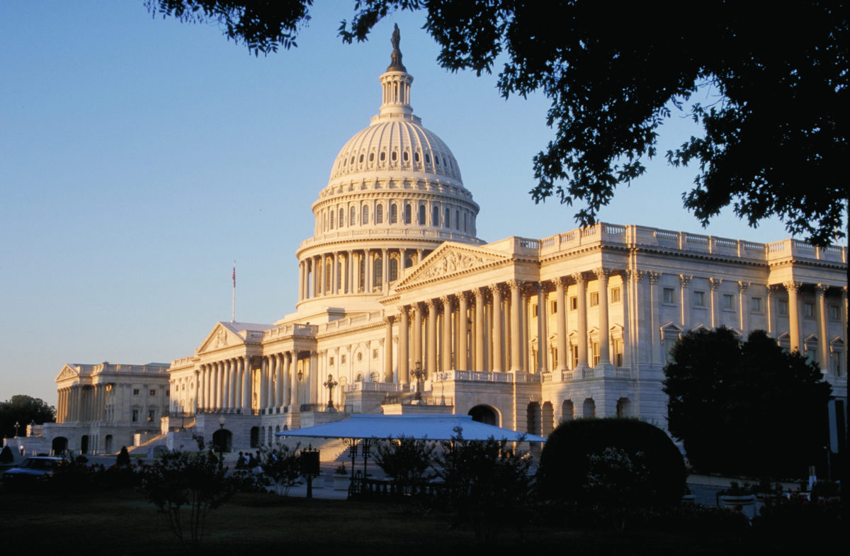
U.S. Senators Jim Risch (R-Idaho) and Angus King (I-Maine) introduced the bipartisan Modernizing Access to Our Public Land (MAPLand) Act alongside Senators Mike Crapo (R-Idaho), Susan Collins (R-Maine), John Barrasso (R-WY), Joe Manchin (D-WV), Martin Heinrich (D-NM), Steve Daines (R-Mont), and Mark Kelly (D-Ariz).
The MAPLand Act would digitize recreational access information and make those resources available to the public. The legislation would also provide federal land management agencies with funding and guidance to create comprehensive databases of available map-based agency records related to recreational access and use.
These records include information about:
- legal easements and rights-of-way across private land;
- year-round or seasonal closures of roads and trails, as well as restrictions on vehicle-type;
- boundaries of areas where special rules or prohibitions apply to hunting and shooting;
- and areas of public waters that are closed to watercraft or have horsepower restrictions.
Currently, many of the easement records that identify legal means of access into lands managed by the U.S. Forest Service and Bureau of Land Management are stored at the local or regional level in paper files. This makes it difficult for hunters, anglers, and even the agencies themselves to identify public access opportunities. For example, of the 37,000 existing easements held by the U.S. Forest Service, the agency estimated in 2020 that only 5,000 had been converted into digital files.
“Quite simply, the MAPLand Act is a common-sense investment in the future of hunting, fishing, and outdoor recreation,” said Whit Fosburgh, president and CEO of the Theodore Roosevelt Conservation Partnership. “Now more than ever, Americans from all walks of life are embracing the world-class opportunities available on our public lands. This bill will allow sportsmen and sportswomen to take full advantage of access opportunities, make it easier to follow the rules while recreating outside, and reduce access conflicts with private landowners. We want to thank these lawmakers for taking the lead on this important legislation.”
In addition to improving the public’s ability to access public lands, the bill would help land management agencies — in cooperation with private landowners — prioritize projects to acquire new public land access or improve existing access. According to a report by the TRCP and onX, a digital-mapping company, more than 9.52 million acres of federally managed public lands in the West lack permanent legal public access because they are surrounded entirely by private lands. Digitizing easement records would be the first step towards addressing this challenge systematically.
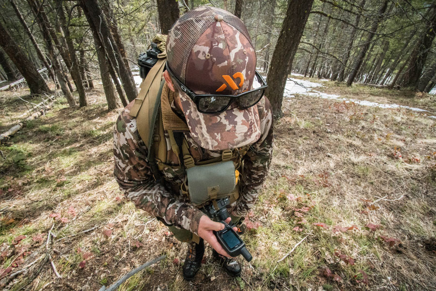
“The popularity of outdoor recreation in 2020 increased by the largest margin seen in years, with many millions trying outdoor activities for the first time,” said Lisa Nichols, onX’s access advocacy manager. “As more people visit our public lands and waters, it’s increasingly critical to have access and regulation information readily available. The MAPLand Act will expedite the pace that records can go from paper to digital formats. The easier this information can be discovered with GPS applications, the more people will be able to plan ahead to have their best days outdoors.”
Last year, more than 150 hunting- and fishing- related businesses signed a joint letter calling on congressional leadership to pass the MAPLand Act. From gear manufacturers and media companies to guides, outfitters, and retailers, the letter signers emphasized that their livelihoods depend on sportsmen and women having access to outdoor recreation opportunities on public lands.
“The MAPLand Act helps bring federal land management into the 21st century while simultaneously making information on recreational access more available to all Americans,” said Ford Van Fossan, conservation manager for First Lite, a technical hunting apparel company headquartered in Ketchum, Idaho. “It would certainly be a big win for folks who enjoy our public lands as well as the outdoor industry that depends on them.”
In addition, conservation groups across the country applauded the leadership shown by lawmakers to invest in the future of America’s public lands system.
“Arizona Sportsmen for Wildlife Conservation and 27 of our member organizations support the MAPLand Act, which would expand recreational access to federal public lands, including 28 million acres in Arizona alone,” said Jim Unmacht, AZSFWC’s executive director. “Access to public land is critical for hunting, angling and a variety of outdoor recreation pursuits enjoyed by many Arizonans.”
The bill was previously introduced in both chambers of Congress last year and received a hearing in the Senate Energy and Natural Resources Subcommittee on Public Lands, Forests, and Mining last September.
Photo: Rick Hutton




Sounds like an excellent idea
Having lived, hunted and fished in, Oklahoma, Colorado, Texas, New Mexico, Arizona, and Idaho the problems this legislation would solve would be enormous.
This Mapland bill is the best thing for the American public! Our public lands need to be more accessible to the public!
Off highway vehicle access should be incorporated with the easement information. Not every person is able to hike 10 miles for accessibility.
MAPLand Act a good idea.
Super cool, thanks for the update. Is this going to be like an OnX that is provided/backed by the government or would it just allow current mapping applications access to accurate data?
I could see companies like OnX not being in favor of this if it would provide free mapping access for all; in reality it would be great for the public.
Thanks!
I am hoping this will make a big difference but I doubt it. Seems like in Montana anyway most access point are already used by the public. What it may do is make a lot of landowners. This is because a lot of these easements are not used by the public and private land owners think they have exclusive use.
this will never work easements and R/W change all the time and property sells and easements then go a way and it takes to long to record the new paper work and change your mapping tool . this is not a good idea i see a law suit coming soon from this mapping tool great idea just not well thought through it may work for state and fed ground but will never work for privet property
I think this is a great idea. As for land ownership vs. easement, (at least as far as conservation easements) this is the reason the easement is owned by someone or organization other than the property owner. This is indicated on the deed. If the property sells it is done with the full knowledge that an easement (much like a deed restriction) exists on some portion of the property. That would have been negotiated when the easement was set up. The HH ranch in NM is set up this way, the property is owned by the Rocky Mountain Elk Foundation and the easement is owned by the Mule Deer Foundation.
This is currently S. 904 since the press release doesn’t have the bill info. More details here: https://www.congress.gov/bill/117th-congress/senate-bill/904
No land that the taxpayer has foot the bill for( any reason) should not be landlocked so the privliged ajoining land owners can have there own private place to enjoy at the nations expense!! It just is Not right!!
This is one of many reasonable and appropriate upgrades in public information access due to be implemented for the good of the public!
Sounds good to me