fbpx

September 7, 2018

Roadless Rule for Alaska Should Follow the Examples Set in Idaho and Colorado

If the forest service and Alaska are going to develop a state-focused roadless rule, they should stick to the standards set by previous efforts

Sometimes the world of public lands policy makes me feel like I’m helping my young daughter with her latest Lego set. She and I might spend hours assembling a boat or car, one piece at time until it’s completed and functional, and then she’ll play with it for a few days before deciding that it’s time to tear it apart and start all over again.

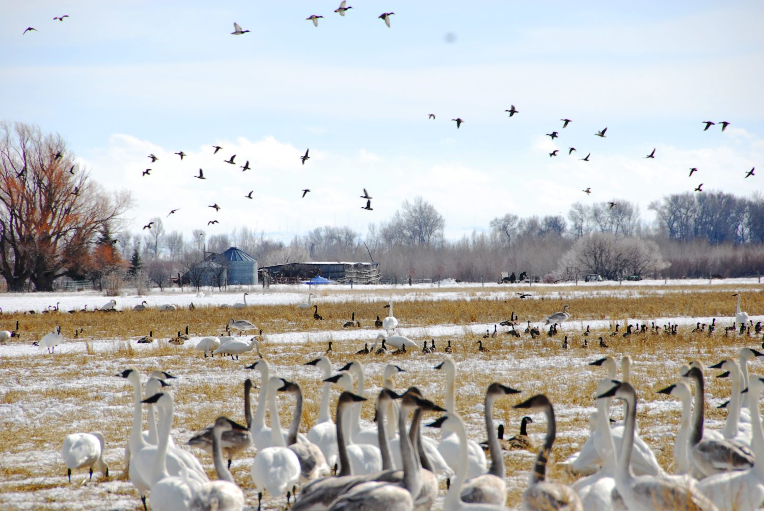
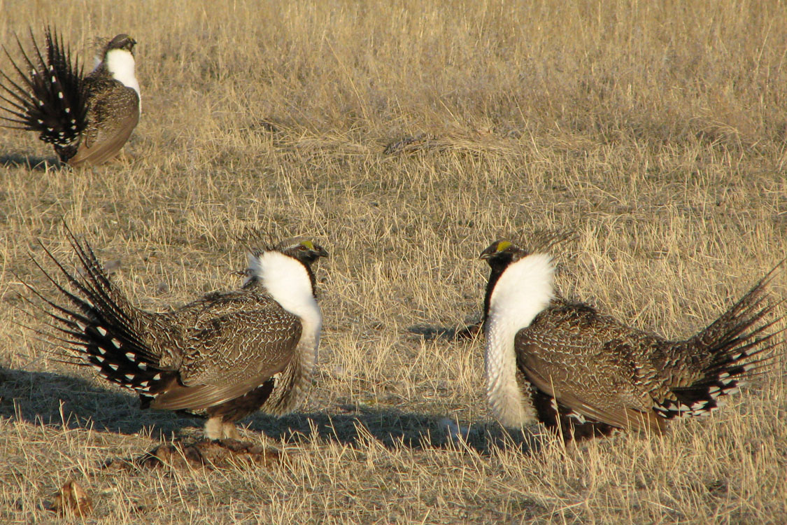
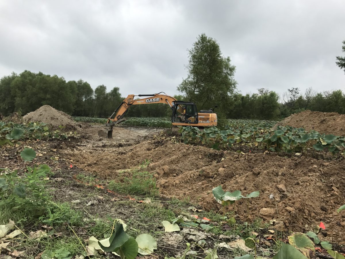
Such a process resembles the current situation of public land management in Alaska, where a carefully crafted conservation plan has been working with success since its establishment seventeen years ago, but the Forest Service must return to the drawing board to create a new plan for managing 14.7 million acres of some of the world’s most productive salmon and Sitka blacktail deer habitat.

And in this case, rather than the few hours it takes to rebuild my daughter’s plastic toys, the decision to scrap this carefully crafted policy will require millions of public dollars and years of committed work by our already overworked management agencies.

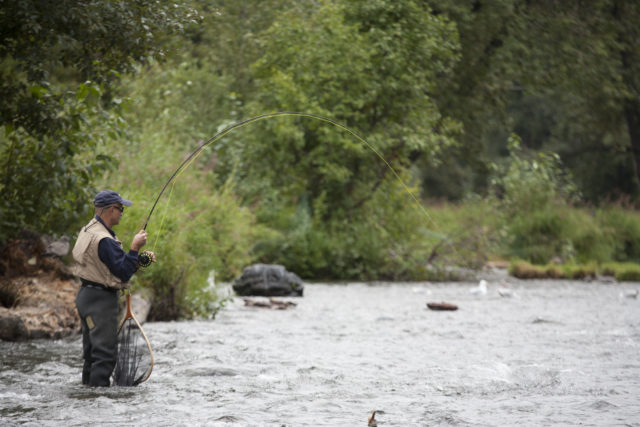
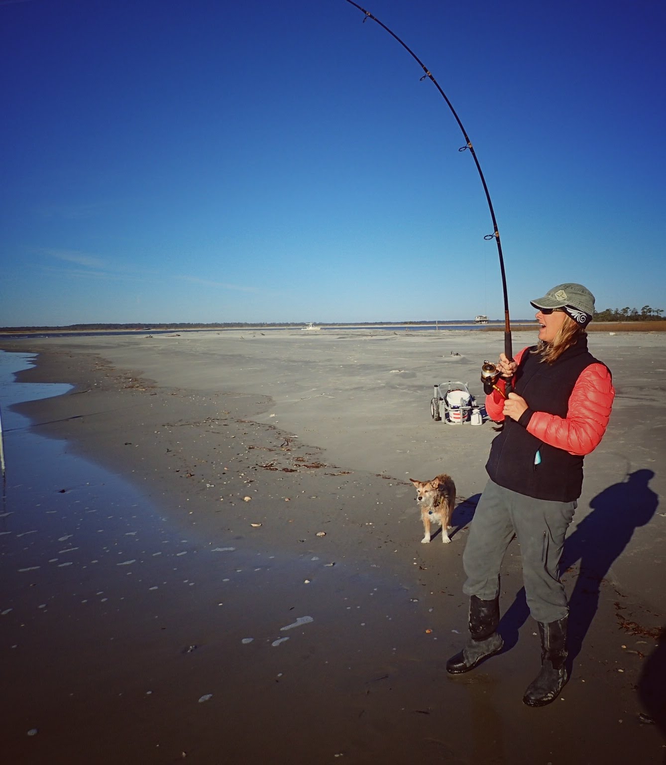
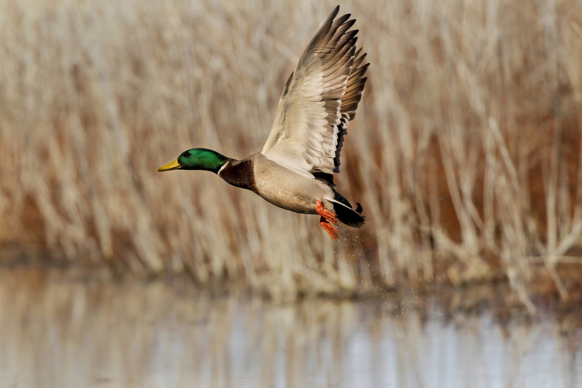
That’s right, the U.S. Forest Service recently announced that it has agreed to work with the state of Alaska to develop a state-specific rewrite of the 2001 Roadless Area Conservation Rule, which is designed to conserve undeveloped backcountry public lands that have never been roaded or developed. These areas in the Tongass and Chugach National Forests provide enormous benefits right now for hunters, anglers, and the commercial fishing industry, and the current roadless rule is doing its job of ensuring they continue to do so.

With that said, since it is now clear that a new plan will be rewritten for Alaska, we want to outline how this process must unfold in order for it to succeed. About a decade ago, the states of Idaho and Colorado followed a similar path and developed state-based rules for roadless areas within their borders, and the TRCP played a leading role in seeing that these efforts produced plans that benefitted wildlife, conserved habitat, and safeguarded quality hunting and fishing opportunities.

Below are the lessons learned along the way that the Forest Service and state of Alaska must heed if they hope to develop a workable and supportable Alaska roadless rule.

Must-Dos for Roadless Rule Planning

First, in order to generate broad buy-in and support, an Alaska roadless rule must be, on balance, as strong as or stronger than the 2001 Roadless Area Conservation Rule. In order to do this, any new allowances for development in roadless areas must be counterbalanced with increased conservation measures. This was the approach taken in both Colorado and Idaho, where negotiations for provisions allowing new roads, more aggressive timber harvest, and mineral extraction in some areas resulted in additional safeguards for what were deemed the highest value roadless areas. This model enabled solutions-focused stakeholder groups to collaborate over the management of these lands and develop an end product with support from multiple interests. A similar expectation must be established for an Alaska roadless rule to help drive cooperation and compromise, and the rule’s ultimate success.

Second, any changes to the current management of roadless areas must result from a collaborative process that includes pragmatic representatives from a wide array of state and national stakeholder groups. The Forest Service’s memorandum of understanding with the state of Alaska indicates that the state will establish a state-driven collaborative to develop recommendations on the management of these lands. Both the Idaho and Colorado roadless rules succeeded, however, because the U.S. Department of Agriculture, the U.S. Forest Service, and the states themselves supported the inclusion of stakeholders representing both state and, critically, national interests in the collaborative process. Because of this diverse level of involvement, these management rules were able to pass muster and be supported both locally and nationally.

Finally, the rule-making process should require as much public participation as possible. The success of Idaho and Colorado rules was dependent on strong public participation, and a number of key refinements to these rules were suggested by the public. The USFS should not only embrace and fully consider input from a broad range of voices, but also hold public meetings in the lower 48, in addition to the state of Alaska. Right now, the planned public meeting schedule does not include any meetings outside of Alaska, despite the fact that these lands are owned by all Americans. Ample commenting opportunities for the public to weigh-in officially will ensure that a variety of perspectives and interests will be heard in the planning process.

We’ve been here before, and if policymakers are serious about developing a roadless rule for Alaska that will be supported by stakeholders and provide for balanced management, they would do well to heed the lessons learned in the Idaho and Colorado roadless rule processes. With so much at stake, there’s no excuse to reinvent a proven model.


Photos courtesy: Forest Service Alaska Region, USDA

12 Responses to “Roadless Rule for Alaska Should Follow the Examples Set in Idaho and Colorado”

  1. Larry Holland

    Many area’s of Alaska should be left natural; while others could benefit Hunters , fishermen/women, plus residents of Alaska. The input to keep ” End of Roaders” out should be enforced to limit of Law Without “Good Ole Boy System”.

  2. Gary B. Jones

    I realize there is high potential for inter-agency abrasion but, with limited dollars and manpower, why reinvent the wheel when you have working and workable templates at hand. A little out-reach to Idaho and Colorado would go a long way to saving money, angst among staff and constituents, and provide a much easier ‘road’ to roadless development.

  3. Dale Crabb

    Colo. Closed all roads thru the national except 1 or2 main roads like county roads leaving sportsman to walk into areas that we had access to for many years. Now sportsman are crowded along these main roads looking for hunting opportunity s. As an older person I can’t walk the 5 miles in and out dayly it takes to get away from the crowds. Opening more of the old logging roads would reduce the crouding and give all of us more access to the back country.

Do you have any thoughts on this post?

XHTML: You can use these tags: <a href="" title=""> <abbr title=""> <acronym title=""> <b> <blockquote cite=""> <cite> <code> <del datetime=""> <em> <i> <q cite=""> <s> <strike> <strong>

Comments must be under 1000 characters.

August 30, 2018

A Fishing Paradise Rises from the Remnants of Louisiana’s Barrier Islands

How oil spill fines are helping to restore beaches and marshes that serve as critical defense against storm surge and enhance coastal fisheries

Louisiana’s barrier islands are an integral part of the state’s rich coastal fishing, culture, ecology, and economy. Eighteen barrier islands stretch from the Chandeleur Island chain east of the Mississippi River to Raccoon Island nearly 200 miles away in Terrebonne Parish. This includes Grand Isle, the state’s only inhabited barrier island and one of America’s top recreational fishing destinations.

Along with headland beaches like the Caminada and Pass Chaland Headland—where the marsh extends into but is not surrounded by water—Louisiana’s barrier islands are the first line of defense against winds and waves from the Gulf of Mexico. They provide protection to sensitive wetlands surrounding coastal lakes and bays, as well as the communities perched on what little high ground exists in the Mississippi River’s rapidly shrinking delta.

The islands are incredible places to fish and offer unique nesting and resting spots for hundreds of species of resident and migrating birds. From spring to fall, barrier island surf teems with speckled trout that have been drawn out of the interior wetlands to the Gulf to spawn or chase migrating shrimp and schools of menhaden and mullet.

Late-summer and fall also bring huge schools of breeding-size 12- to 50-pound redfish into the passes and surf zones, where they spawn and fatten up on blue crabs that gather in large masses along barrier island beaches to lay eggs. When Gulf-side surf is roughened by summer’s southerly winds, the marshy backsides of the islands offer protection, and often better fishing, to anglers.

Unfortunately, Louisiana’s barrier islands have been ravaged by the same forces of subsidence, erosion, and sediment starvation that have claimed 2,000 square miles of coastal wetlands in the last century. Restoring the state’s barrier islands is a key part of the overall effort by Louisiana to restore and protect its coast.

The Tale of Whiskey Island

Louisiana’s Coastal Protection and Restoration Authority has invested nearly $500 million in rebuilding more than 60 miles of beaches and barrier islands since 2007. They have also overseen construction of hundreds of acres of back-barrier marshes designed to enhance fisheries habitat and help retain the sand that has been pumped ashore by dredges to rebuild beaches and dunes.

Arguably, the most ambitious of these efforts is the recently completed restoration of Whiskey Island in Terrebonne Parish. For more than a year, sand was pumped to the island by a dredge from an ancient, sunken sand deposit 10 miles southwest of the island called Ship Shoal. Gradually built up by the Mississippi River about 7,000 years ago, Ship Shoal has proven to be the ideal source of material for two largescale beach restoration efforts and will be tapped again for at least two more barrier island restorations in the next decade.

The $117-million project to restore 1,000 acres of beaches and dunes at Whiskey Island—and establish another 160 acres of marsh platform behind the dunes to complement a 2009 project on 300 acres of marsh—was funded entirely with fines paid by BP and the other companies responsible for the 2010 Deepwater Horizon oil disaster. Nearly $20 billion in fines will be paid by BP alone over the next 15 years, and much of it will be used to address damage to fish and wildlife habitat.

Anglers are particularly fortunate that Whiskey Island’s beaches and marshes, coated and stained by oil eight years ago, have been renewed. The effort has helped to sustain and even enhance Terrebonne’s rich recreational and commercial fisheries and give coastal birds, like brown pelicans, which were hit hard by the spill, a place to nest and feed for at least two more decades.

Nearly $20 billion in fines will be paid by BP alone over the next 15 years, and much of it will be used to address damage to fish and wildlife habitat.
More Funding Equals More Savings

The project also demonstrates the broader scale of Louisiana’s coastal restoration efforts now that oil spill dollars have become available. Past barrier-island restoration efforts were pieced together over a decade or more. But with oil spill penalties committed by Louisiana and federal resource agencies like NOAA and the U.S. Fish and Wildlife Service, larger, more comprehensive projects can be built all at once, which ultimately saves money and makes for a more resilient and productive island.

Here’s why: We used to have to wait for $20 to $50 million in funding to restore 200 to 400 acres of marsh or beach at a time, then agencies would have to come back in five years or so with another chunk of money to build the next section. Now that money is available to complete an $80- to $100-million barrier island restoration all at once, millions aren’t wasted on mobilizing and demobilizing equipment and manpower at the beginning and end of multiple projects.

It’s actually a lot less expensive to build one 1000-acre restoration project than to break that effort into two or three smaller efforts spread out over a decade.

The Long Haul for Habitat

The TRCP and its sportfishing partners have advocated and worked with state and federal officials over the last eight years to make sure restoration efforts, like those on Whiskey Island, are the top priority as the Gulf continues to rebuild areas devastated by the Deepwater Horizon spill.

Good fishing requires good habitat. Projects like the Whiskey Island restoration and other efforts to rebuild beaches, barrier islands and marshes across the Gulf make sure there is high-quality habitat for fish and fishermen for decades to come.

Watch this video to see these project benefits in action.


Top photo by Flickr user Spencereblake

August 22, 2018

The Four Bills Paul Ryan Should Help Pass to Solidify his Standing as the Sportsmen’s Speaker

In the final months of the 115th Congress, the Speaker of the House may have his legacy on his mind—here’s how he can do right by hunters, anglers, and wildlife

A session of Congress progresses about the same way as a day in a deer stand—both get started with enthusiasm about the opportunities to achieve meaningful things, and flashes of brief activity keep you focused on why you are here and what you are doing.

Both seem to end the same way, too: With a hopeful and expectant feeling that the last minutes might be productive, that all your effort will be worthwhile. And even if the tag is not filled, or the bill is not passed into law, we hope we’ve learned a few things that might help us next time.

The 115th Congress will see its sunset in the final days of 2018, and this is a particularly unique closing gavel for a Congress, for it will be the end of Representative Paul Ryan’s speakership and congressional career after serving Wisconsin’s 1st district since 1999.

It might be a long time before another bona fide hunter is in the Speaker’s office. As Ryan prepares to step away, there are four bills he should send to the president’s desk to leave an enduring legacy as the Sportsmen’s Speaker.

The Farm Bill

Versions of this critical legislation have been passed by both the House and the Senate, and while both chambers of Congress are working in conference to reconcile differences, the current law expires at the end of September. Both versions of the Farm Bill include provisions that are important to sportsmen, from funding critical conservation projects on working farms and forests to ensuring a bright future for the Conservation Reserve Program and reauthorizing the Voluntary Public Access program—the only private lands access incentive program in the entire federal government.

This close to the finish line, it would be a shame—not to mention a setback for high-priority wildlife habitat work nationwide—if the next Congress is forced to start all over again.

The Modern Fish Act

Passed out of both the Senate Commerce Committee and the House Natural Resources Committee, the Modern Fish Act is the legislative application of the recreational fishing industry’s vision for improving marine fisheries management. In fact, it reads like a priorities list for TRCP and our marine fishing partners, like the American Sportfishing Association and Coastal Conservation Association.

The bill would improve data collection and take better advantage of some of the groundbreaking work being done to analyze recreational fishing activity through smartphone apps—all in service of creating longer, more predictable fishing seasons.

Perhaps most compellingly, the Modern Fish Act would give federal fisheries managers the flexibility to try new approaches to managing recreational fishing, where the hard poundage quotas that work for commercial fisheries just don’t get the job done.

The HELP for Wildlife Act

Passed out of the Senate Environment and Public Works Committee in the very beginning of this Congress back in 2017, the Help for Wildlife Act is one of the most comprehensive wildlife bills to be assembled by federal lawmakers in recent memory. The legislation would inject new life and fresh funding into such critical programs as the North American Wetlands Conservation Act, the National Fish and Wildlife Foundation, and the National Fish Habitat Conservation Act.

In short, if passed, this bill would put many of our most effective conservation initiatives on firmer footing moving forward.

Photo Courtesy of the USDA.
The WILD Act

It may be tough to get excited about a Senate vote count, but this legislation passed by unanimous consent—this is the very definition of bipartisanship and a rare thing in Washington in 2018.

The WILD Act has a host of provisions, but among the most important for sportsmen is the bill’s inclusion of a reauthorization for the Partners for Fish and Wildlife program, one of our most effective private lands conservation programs. It emphasizes on-the-ground work to benefit some of the most imperiled species, including sage grouse and lesser prairie chickens. The WILD Act would reauthorize the Partners program, which has been lapsed since 2011, through 2022.

The WILD Act also includes language prioritizing coordination between a variety of stakeholders on addressing invasive species outbreaks and encouraging expedited action before AND after invasive species are discovered. This language could help state and federal agencies get a handle on pythons in the Everglades and Asian carp in watersheds across the country.

Support Is There, But Time Is Running Out

All of the aforementioned bills have bipartisan support, and signing them into law would meet some serious needs of the fish and wildlife conservation community. We hope that in our final months working with a Speaker of the House who deeply understands the importance of quality days afield, this success could be within reach.

If Speaker Ryan can see the wisdom in working to get these bills over the finish line, he will earn the well-deserved applause of America’s hunters and anglers before he gets to spend more time outside himself. And we stand ready to help make sure the last days of the 115th Congress are productive ones.

August 13, 2018

Administration’s First BLM Management Plan Could Hint at What’s to Come

Land-use guidelines for 2 million acres of public lands in New Mexico include some conservation, some room for improvement

The American public now has access to a proposed long-term plan for energy development and recreational use of more than two million acres of BLM lands in southeast New Mexico. When finalized, the new Resource Management Plan (RMP) will guide management decisions for the next twenty years or more on lands within the Carlsbad Field Office.

This is the first draft BLM land-use plan to be released under the Trump administration, and perhaps offers a glimpse of what’s to come in a number of forthcoming forest plans and RMPs. With zero plans finalized in 2017 and many in drastic need of an update to incorporate changing conditions, new challenges, and more recent science, sportsmen and women would do well to give the Carlsbad plan careful consideration. The degree to which their voices are heard on this particular draft could set a precedent for future plans across the West.

“The draft RMP takes into consideration a number of changes that have affected Carlsbad BLM lands since the old land-use plan was created 30 years ago,” says John Cornell, New Mexico field representative for the Theodore Roosevelt Conservation Partnership. “As sportsmen, we recognize the need to update the RMP to address management concerns, especially those regarding wildlife habitat.”

Photo courtesy: Deanna Younger/BLM New Mexico

As part of the planning area, the Delaware Basin will soon be part of the third largest oil- and gas-producing region in the world, behind only Russia and Saudi Arabia. Because of the growing importance of this area to the current administration’s energy development plans, public land resources have been strained, and the draft RMP addresses the resulting increase in user conflicts in a way that largely benefits game species.

The RMP currently guiding decision-making was written in 1988.

“While this draft is an improvement on the decades-old plan, we would still like to see an increased emphasis on restoration and reclamation of old well sites, where caliche pads, roads, and utility corridors void of vegetation are desperately in need of re-seeding with weed-free, native grasses,” explained Cornell. “We will continue to work cooperatively with our sportsmen partners, local livestock producers, and BLM officials to ensure that energy development is balanced with the needs of fish, wildlife, and our outdoor traditions.”

The BLM will soon announce a series of public meetings to be held in several communities within and outside the planning area, where the public will have the opportunity to learn more about the draft and submit written comments.


Top photo courtesy of BLM New Mexico

August 7, 2018

Reversing Habitat Degradation on a Delta in Duck Country

To restore a stream on the Arkansas Delta, conservationists faced down dead-zone-creating nutrient runoff, pernicious beaver activity, erosion, and many other challenges—here’s how wetland easements played a role in their success

Arkansas’ famed Delta region has historically been home to the largest continuous system of wetlands in North America and now serves as critical seasonal habitat within the Mississippi Flyway. Hunters kill more mallards in Arkansas than in any other state, and only Louisiana has a greater overall annual waterfowl harvest. What’s more, the Delta’s lowland rivers and lakes draw anglers in pursuit of bass, crappie, and catfish.

Hunting and fishing are woven into the fabric of life in this region, and money generated by sportsmen and women is crucial to the well-being of wildlife populations throughout the state. But the Delta also has a long agricultural history that has resulted in the serious degradation of some of its best habitat, requiring the committed work of conservationists to restore its waterways and wetlands, thus preserving the wealth of hunting and fishing opportunities found in the region.

Last year saw the completion of a five-year effort to support the area’s biodiversity, improve wildlife habitat, enhance water quality, and encourage the restoration of native vegetation by way of the Dark Corner Stream Restoration Project. Its success and many resulting benefits are thanks to the collaborative work of The Nature Conservancy, the Arkansas Natural Heritage Commission, and the Natural Resource Conservation Services, with technical assistance from Cache River National Wildlife Refuge and Natural State Streams.

Now, this project could offer a model for similarly degraded waterways and wetlands throughout the region and across the country.

Photo: Dustin Lynch/Arkansas Natural Heritage Commission
The Degradation of the Delta

Otherwise known as the Mississippi Alluvial Plain, one of Arkansas’ six eco-regions, the Delta is defined and shaped by the flow of its rivers: the Mississippi, Arkansas, White, Cache, and St. Francis. The deep layers of soil, gravel, and clay deposited by these waterways make it one of the most productive regions in the world for large-scale agriculture.

As a result, the land has been largely cleared of native vegetation and drained for cultivation, leading to the widespread loss and degradation of wildlife habitat, while agricultural runoff contains fertilizers, sediment, herbicides, pesticides, and livestock waste. Water testing has typically revealed high concentrations of total suspended and dissolved solids, phosphorus, nitrogen, sulfates, biological oxygen demand, chlorophyll a, and fecal coliform.

Timothy Vail/The Nature Conservancy, Arkansas Field Office

Furthermore, the drainage canals and ditches widely used in the region separate rivers and their adjoining habitats from the rest of the natural hydrologic system and accelerate the transport of excess nutrients and sedimentation downstream. The effects of this pollution reach down to the Gulf of Mexico, seasonally creating a low-oxygen “dead zone” that renders thousands of square miles uninhabitable by most marine life. On a more local scale, the entrenched, heavily channelized nature of Delta streams results in turbid water conditions unsuitable for wildlife or human use.

Among the many waterways historically affected by these changes was Dark Corner Creek, a small feeder stream in the Bayou DeView watershed, which, in turn, is a major tributary of the Delta’s Cache River. Historically, the stream drained an area of approximately 7,000 acres, but extensive channelization through ditches created for agricultural use in the 1940s reduced the drainage area to 3,384 acres. Much of the Dark Corner watershed lies on Benson Creek Natural Area, part of a system of 73 such public lands across the state—many of which are open to hunting and fishing—managed by the Arkansas Natural Heritage Commission.

Timothy Vail/The Nature Conservancy, Arkansas Field Office
Planning the Project, Getting to Work

In 2012, The Nature Conservancy identified the Benson Creek Natural Area as an ideal candidate for restoration according to a process that utilizes a number of scientific lenses to replicate as closely as possible the natural flow regime of the original watershed.

Because the property is subject to a perpetual Wetland Reserve Easement, the Natural Resources Conservation Service provided funding using a program dubbed “no easement left behind.” First implemented in the mid-1990s, these wetland easements provide economic benefits to landowners in perpetuity, with the cost covered by NRCS.

Currently the Arkansas Delta contains more than 250,000 acres of these wetland reserve easements with 4,000 to 6,000 additional acres enrolled each year. Other states also reap the benefits of this program, providing contiguous habitat totaling more than 700,000 acres across Arkansas, Mississippi, and Louisiana. In years past, these hydric soil landscapes of the Mississippi Alluvial Valley provided fair production for the local farmers, but recent changes in the frequency of spring flooding have made them very difficult to farm. This program allows landowners to choose an alternate use for their properties and even future income through leasing and guided duck hunts.

With funding in place, TNC secured the services of a private specialized contractor, Natural State Streams, whose team specializes in all aspects of stream restoration including erosion control, stream bank stabilization, and native riparian planting and establishment. Personnel from the nearby Cache River National Wildlife Refuge provided technical assistance, additional funding, and equipment.

Timothy Vail/The Nature Conservancy, Arkansas Field Office

Using a stream in western Tennessee with similar soils and habitats to use as a reference, the team determined the appropriate width, depth, and sinuosity (or degree of meander) that would allow the stream to function as it did prior to alteration, and they drew up plans for a new channel according to these findings.

The construction phase of the project brought many challenges. Due to heavy spring rains and a network of downstream beaver dams, the wetland proved difficult to drain for long enough to allow the work to get underway. As quickly as levees could be breached, beavers would rebuild the dams, necessitating their vigilant monitoring and removal throughout the process.

Before water could be diverted into the newly constructed stream, precautions against erosion were needed. Jute matting, a biodegradable material made of woven vegetable fibers, installed in the channel and along its banks offered temporary protection until newly grown vegetation, including live stakes of black willow planted during the project, could anchor the soil. Cutting these stakes from on-site trees ensured better rates of survival. Finally, the removal of a culvert immediately downstream allowed as much unrestricted flow through the system as possible.

A Model Success

Since the project’s completion in October of last year, water-quality samples collected twice a month have evidenced its effect on the ecosystem. The data already indicates a reduction in turbidity as the natural hydrology of the restored system filters nutrients and traps particulate matter, and further decreases are projected as vegetation in the floodplain takes hold. There has also been some reduction in nitrogen at the site, although it may take years for it to decline to historic levels.

Mike Wintroath/Arkansas Game and Fish Commission

A variety of aquatic species now utilize the newly constructed stream habitat. ANHC staff have documented fish species including largemouth bass, bluegill, spotted gar, and banded pygmy sunfish, as well as a variety of invertebrates and amphibians. Grasses, sedges, and broadleaf plants are flourishing at the site and will ultimately provide much-needed food for wintering waterfowl. Prior to construction of the new stream channel, the site consisted largely of a monoculture of American lotus, which has little nutritive value for waterfowl.

While restoration of a small creek in eastern Arkansas may seem like a small piece of a very large and complex puzzle with far-reaching consequences, it clearly epitomizes the conservation adage “think globally, act locally.” It is the hope of all the contributing partners that the Dark Corner Stream Restoration Project can serve as an example for future efforts throughout the region to tackle some of our most serious challenges when it comes to wildlife, habitat, and waterways.


Top photo courtesy: Mike Wintroath/Arkansas Game and Fish Commission


HOW YOU CAN HELP

CHEERS TO CONSERVATION

Theodore Roosevelt’s experiences hunting and fishing certainly fueled his passion for conservation, but it seems that a passion for coffee may have powered his mornings. In fact, Roosevelt’s son once said that his father’s coffee cup was “more in the nature of a bathtub.” TRCP has partnered with Afuera Coffee Co. to bring together his two loves: a strong morning brew and a dedication to conservation. With your purchase, you’ll not only enjoy waking up to the rich aroma of this bolder roast—you’ll be supporting the important work of preserving hunting and fishing opportunities for all.

Learn More
Subscribe

You have Successfully Subscribed!

You have Successfully Subscribed!

You have Successfully Subscribed!

You have Successfully Subscribed!

You have Successfully Subscribed!